• Skip to primary navigation
  • Skip to main content
  • Skip to footer
  • Home
  • About Terramar
  • News
  • Support
  • Contact Us
Terramar Instruments

Terramar Instruments

Geophysical Equipment Sales and Rental

Geophysical Equipment Supplier
rentals@terramarinstruments.com | 317-993-7815
  • Equipment for Rent
  • Equipment for Sale
  • Manufacturers
    • Dualem
    • Falmouth Scientific
    • Hemisphere GPS
    • Impulse Radar
    • Leica Geosystems
    • Piletest Inc.
    • ZH Instruments
  • Request a Quote
  • About Terramar
  • Support
  • Contact Us
Syscal Deep Marine
Syscal Deep Marine

Syscal Deep Marine

In fresh water environment, the standard Syscal Pro can be used for marine resistivity profiling. However, in highly conductive environment, a modified variant with higher current output is required.

Thanks to its 10 reception channels, the Syscal Pro Deep Marine allows simultaneous collection of 10 resistivity data points corresponding to 10 depth levels.

Request a Purchase Quote
SKU: Syscal Deep Marine Category: Electrical Resistivity Imaging Tags: Purchase New, Rental Brand: IRIS Instruments Iris Instruments
  • Description

Description

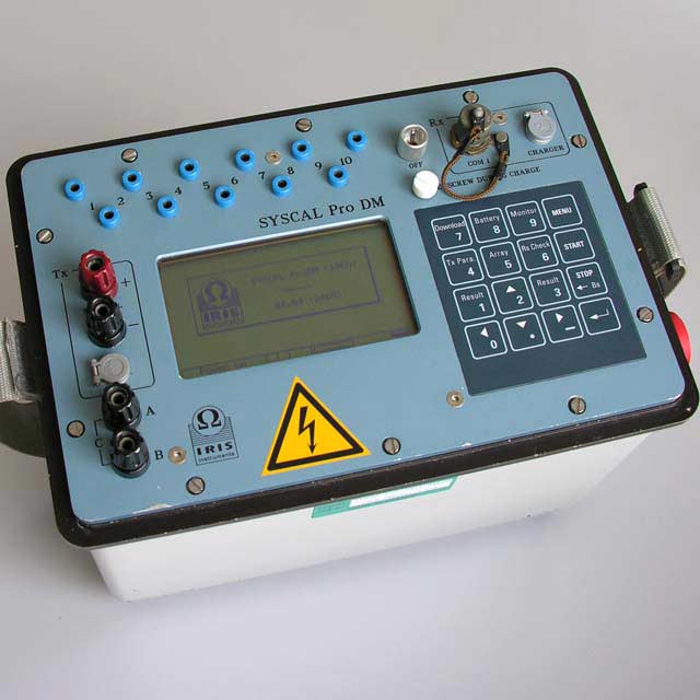
The short current injection time allows recording of a set of 10 resistivities at about every 2 seconds; it makes this tool very efficient for this type of survey.

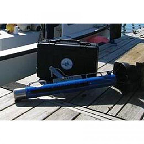
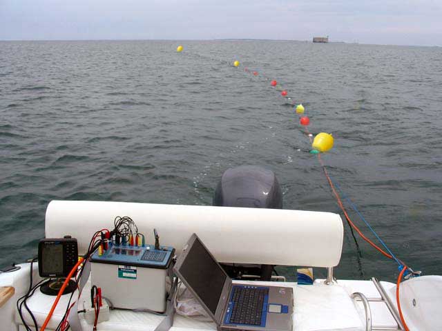
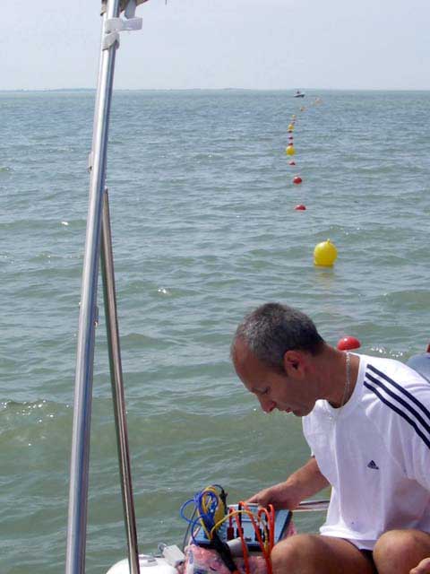
A ruggedized streamer with 13 graphite takeouts can be supplied. Typical electrode spacings are 5, 10 and 15m. Depending on the depth of the water column, the streamer can either be floated near the water surface or submerged near the seabed.

GPS systems can be directly connected to the SYSCAL Pro Deep Marine unit thanks to a serial/USB data port; thus, the position of the electrodes for each measurement point will be known accurately. Specific GPS also offer an echo sounder transducer which can be directly connected to the PC; in that case, the software will integrate the resistivity data with the GPS coordinates and bathymetry.

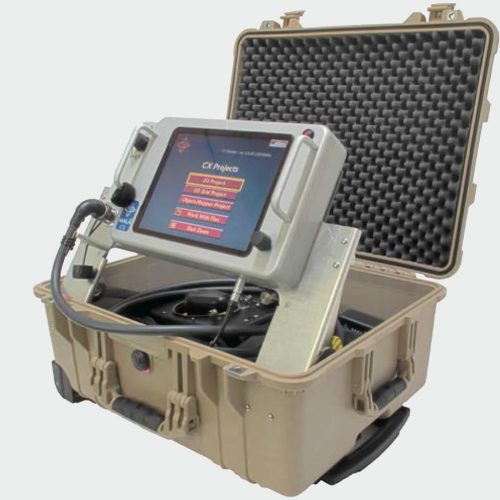
The data, recorded by the SYSCAL Pro Deep Marine, are continuously transferred to a laptop by serial/USB communication. Simultaneously, the resistivity values are displayed in real time, numerically and graphically (2D section of resistivity).

Applications

Water resources

  • Locate conductive fault in fractured aquifer
  • Assess water table characteristics
  • Characterize salt water wedge extension in groundwater

Environment

  • Monitor pollution
  • Detect leaks and monitor degradation in waste disposal
  • Locate and image buried structures

Natural hazard

  • Detect and characterize cavities
  • Assess landslide extension and volume
  • Detect and locate clayey layers for geotechnical application

Downloads

  • Syscal Deep Marine Datasheet
  • Principles of geophysical methods for groundwater investigations
  • Master curves for schlumberger sounding interpretation

Related products

  • HMS-620 Bubble Gun

    HMS-620 Bubble Gun

    Read more
  • MALÅ CX

    MALÅ CX

    Read more
  • Syscal Pro

    Syscal Pro

    Read more
  • S321 GNSS Survey Smart Antenna

    S321 GNSS Survey Smart Antenna

    Read more

Footer

Terramar Instruments

rentals@terramarinstruments.com
317-993-7815

Contact Us

shipping address:
Terramar Instruments
4920 E23rd Street, Suite B
Indianapolis, IN 46218 USA

mailing address:
Terramar Instruments
4920 E23rd Street, Suite B
Indianapolis, IN 46218 USA

Quick Links

  • Rentals
  • Equipment for Sale
  • Manufacturers
  • Request a Quote
  • About Terramar
  • Support
  • Contact Us

Product Categories

  • Electrical Resistivity Imaging
  • Electromagnetics Systems
  • GPS
  • Ground Penetrating Radar
  • LiDAR
  • Magnetic Susceptibility Meters
  • Marine Seismic Systems
  • Non-Destructive Testing
  • Seismic Refraction and Reflection

Copyright © 2023 Terramar Instruments. All Rights Reserved.